
 Kanjiža
Backa Palanka
Smederevska Palanka
Vrbas
Vranje
Kikinda
Senta
Prokuplje
Bačka Topola
Kanjiža
Backa Palanka
Smederevska Palanka
Vrbas
Vranje
Kikinda
Senta
Prokuplje
Bačka Topola
Novi Sad on the map, Serbia
Where is located Novi Sad
Exact location — Novi Sad, South Backa District, Vojvodina, Serbia, marked on the map with a red marker.
Coordinates
Novi Sad, Serbia coordinates in decimal format: latitude — 45.2671352, longitude — 19.8335496. When converted to degrees, minutes, seconds Novi Sad has the following coordinates: 45°16′1.69 north latitude and 19°50′0.78 east longitude.
Population
Novi Sad, South Backa District, Vojvodina, Serbia, according to our data the population is — 194,405 residents, which is about 2.2% of the total population of the country (Serbia).
Comparison of the population on the graph:
Exact time
Time zone for this location Novi Sad — UTC +2 Europe/Belgrade. Exact time — saturday, 7 july 2024 year, 06 h. 28 minutes.
Sunrise and sunset
Novi Sad, sunrise and sunset data for a date — saturday 6.07.2024.
| Sunrise | Sunset | Day (duration) |
|---|---|---|
| 05:04 +1 minute | 20:26 -1 minute | 15 h. 24 minutes. -2 minutes |
You can control the scale of the map using the auxiliary tools to find out exactly where it is located Novi Sad. When you change the scale of the map, the width of the ruler also changes (in kilometers and miles).
Nearby cities
The largest cities that are located nearby:
- Belgrade — 61 km
- Szeged
 (Hungary) — 112 km
 - Timișoara
 (Romania) — 121 km
 - Tuzla
 (Bosnia and Herzegovina) — 122 km
 - Arad (Romania) — 151 km
- Pécs (Hungary) — 152 km
- Kragujevac — 163 km
- Kecskemét (Hungary) — 180 km
- Zenica (Bosnia and Herzegovina) — 193 km
- Sarajevo (Bosnia and Herzegovina) — 193 km
- Banja Luka (Bosnia and Herzegovina) — 215 km
- Drobeta-Turnu Severin (Romania) — 234 km
- Székesfehérvár (Hungary) — 237 km
- Budapest (Hungary) — 254 km
- Oradea (Romania) — 254 km
- Mostar (Bosnia and Herzegovina) — 268 km
- Niš — 272 km
- Mitrovica
 — 276 km
 - Debrecen (Hungary) — 284 km
Distance to neighboring capitals:
- Sarajevo (Bosnia and Herzegovina) — 193 km
- Budapest (Hungary) — 255 km
- Zagreb
 (Croatia) — 306 km
 - Podgorica
 (Montenegro) — 318 km
 - Bratislava
 (Slovakia) — 382 km
 - Skopje
 (Macedonia (FYROM)) — 386 km
 - Sofia
 (Bulgaria) — 399 km
 - Vienna
 (Austria) — 420 km
 - Ljubljana
 (Slovenia) — 423 km
 - Tirana
 (Albania) — 438 km
 - Bucharest (Romania) — 503 km
- Athens
 (Greece) — 872 km
 - Kyiv
 (Ukraine) — 983 km
 - Ankara
 (Turkey) — 1219 km
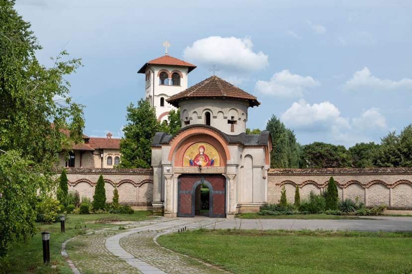
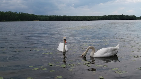
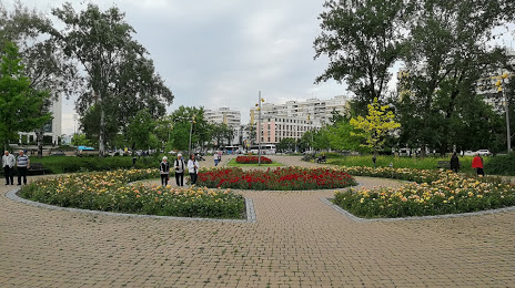
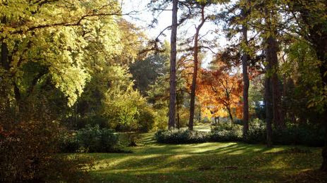
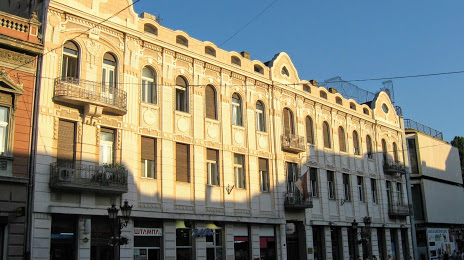
Attractions


Distance to the capital
Distance to the capital (Belgrade) is about — 72 km.