
 Kazachiy
Pitkyaranta
Aleysk
Khotkovo
Ruzhino
Tavricheskiy
Antonovskaya
Kavkazskaya
Novokuybyshevsk
Pronina
Kanash
Inga
Zhuravlev
Shakhunya
Kartaly
Desnogorsk
Krasnoselskiy
Arbor
Vyazemsky
Kazachiy
Pitkyaranta
Aleysk
Khotkovo
Ruzhino
Tavricheskiy
Antonovskaya
Kavkazskaya
Novokuybyshevsk
Pronina
Kanash
Inga
Zhuravlev
Shakhunya
Kartaly
Desnogorsk
Krasnoselskiy
Arbor
Vyazemsky
Zelenogradsk on the map, Russian Federation
Where is located Zelenogradsk
Exact location — Zelenogradsk, Zelenogradsky District, Kaliningrad Oblast, Russia, marked on the map with a red marker.
Coordinates
Zelenogradsk, Russian Federation coordinates in decimal format: latitude — 54.9562342, longitude — 20.4747023. When converted to degrees, minutes, seconds Zelenogradsk has the following coordinates: 54°57′22.44 north latitude and 20°28′28.93 east longitude.
Population
Zelenogradsk, Zelenogradsky District, Kaliningrad Oblast, Russia, according to our data the population is — 12,846 residents, which is about 0% of the total population of the country (Russian Federation).
Comparison of the population on the graph:
Exact time
Time zone for this location Zelenogradsk — UTC +2 Europe/Kaliningrad. Exact time — monday, 7 july 2024 year, 03 h. 52 minutes.
Sunrise and sunset
Zelenogradsk, sunrise and sunset data for a date — monday 8.07.2024.
| Sunrise | Sunset | Day (duration) |
|---|---|---|
| 04:16 +1 minute | 21:09 -1 minute | 16 h. 54 minutes. -2 minutes |
You can control the scale of the map using the auxiliary tools to find out exactly where it is located Zelenogradsk. When you change the scale of the map, the width of the ruler also changes (in kilometers and miles).
Nearby cities
The largest cities that are located nearby:
- Kaliningrad — 27 km
- Klaipėda
 (Lithuania) — 93 km
 - Elblag
 (Poland) — 112 km
 - Olsztyn (Poland) — 130 km
- Gdynia (Poland) — 134 km
- Gdańsk (Poland) — 135 km
- Šiauliai (Lithuania) — 206 km
- Kaunas (Lithuania) — 218 km
- Torun (Poland) — 248 km
- Panevėžys (Lithuania) — 257 km
- Bydgoszcz (Poland) — 260 km
- Bialystok (Poland) — 269 km
- Plock (Poland) — 271 km
- Wloclawek (Poland) — 272 km
- Koszalin (Poland) — 291 km
- Warsaw (Poland) — 304 km
- Vilnius (Lithuania) — 309 km
- Rīga
 (Latvia) — 311 km
 - Łódź (Poland) — 360 km
Distance to neighboring capitals:
- Warsaw (Poland) — 305 km
- Vilnius (Lithuania) — 309 km
- Rīga (Latvia) — 317 km
- Minsk
 (Belarus) — 473 km
 - Stockholm
 (Sweden) — 506 km
 - Tallinn
 (Estonia) — 561 km
 - Mariehamn
 (Åland Islands) — 573 km
 - Helsinki (Finland) — 638 km
- Prague
 (Czech Republic) — 679 km
 - Oslo
 (Norway) — 800 km
 - Kyiv
 (Ukraine) — 841 km
 - Bucharest
 (Romania) — 1238 km
 - Tbilisi
 (Georgia) — 2303 km
 - Yerevan
 (Armenia) — 2418 km
 - Tehran
 (Iran) — 3186 km
 - Astana
 (Kazakhstan) — 3358 km
 - Khan-Uul
 (Mongolian) — 5653 km
 - Kathmandu
 (Nepal) — 5937 km
 - Beijing
 (China) — 6822 km
 - Pyongyang
 (North Korea) — 7401 km
 - Seoul
 (South Korea) — 7596 km
 - Hanoi
 (Vietnam) — 7819 km
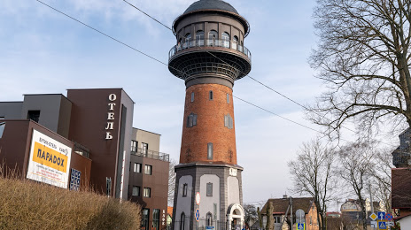
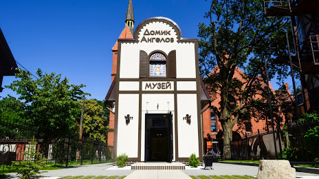
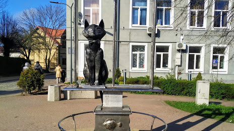
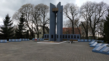
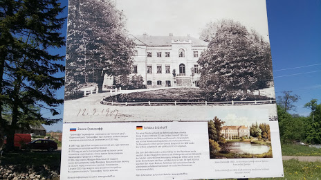
Attractions


Distance to the capital
Distance to the capital (Moscow) is about — 1085 km.