
 Mikhaylovka
Dyrestuy
Mikhaylovka
Mayskiy
Novobessergenevka
Tersky District
Lesnoy
Tertezh
Kuz'minskiye Otverzhki
Mikhaylovka
Dyrestuy
Mikhaylovka
Mayskiy
Novobessergenevka
Tersky District
Lesnoy
Tertezh
Kuz'minskiye Otverzhki
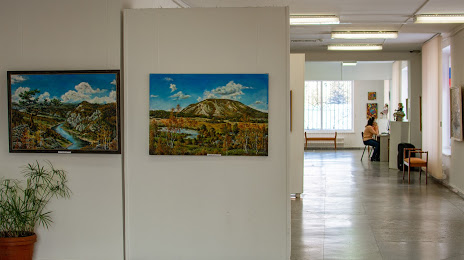
Picture gallery on the map, Sterlitamak, Russian Federation
Photo
Where is located Picture gallery
Picture gallery — local attraction, which is located at Kommunisticheskaya St, 84, Sterlitamak, Republic of Bashkortostan, 453100 and belongs to the category — art gallery. Average visitor rating for this place — 4.7 (according to 32 ratings, information from open sources and relevant for 2022).
Exact location — Picture gallery, marked on the map with a red marker.
You can get directions to Picture gallery on the map from your location.
What else is interesting in Sterlitamak? You can see all the sights if you go to the city page.
Coordinates
Picture gallery, Russian Federation coordinates in decimal format: latitude — 53.61986412724132, longitude — 55.907261998373656. When converted to degrees, minutes, seconds Picture gallery has the following coordinates: 53°37′11.51 north latitude and 55°54′26.14 east longitude.
Nearby cities
The largest cities that are located nearby:
- Salavat — 29 km
- Ufa — 122 km
- Magnitogorsk — 203 km
- Orenburg — 214 km
- Almetyevsk — 270 km
- Zlatoust — 290 km
- Neftekamsk — 292 km
- Miass — 303 km
- Novotroitsk — 314 km
- Orsk — 324 km
- Sarapul — 340 km
- Nizhnekamsk — 340 km
- Chelyabinsk — 386 km
- Samara — 388 km
- Izhevsk — 391 km
- Novokuybyshevsk — 404 km
- Dimitrovgrad — 418 km
- Tolyatti — 430 km
- Pervouralsk — 436 km
Distance to the capital
Distance to the capital (Moscow) is about — 1196 km.