
 Mikhaylovka
Dyrestuy
Mikhaylovka
Mayskiy
Novobessergenevka
Tersky District
Lesnoy
Tertezh
Kuz'minskiye Otverzhki
Mikhaylovka
Dyrestuy
Mikhaylovka
Mayskiy
Novobessergenevka
Tersky District
Lesnoy
Tertezh
Kuz'minskiye Otverzhki
Spaso-Preobrazhenskiy Sobor on the map, Tolyatti, Russian Federation
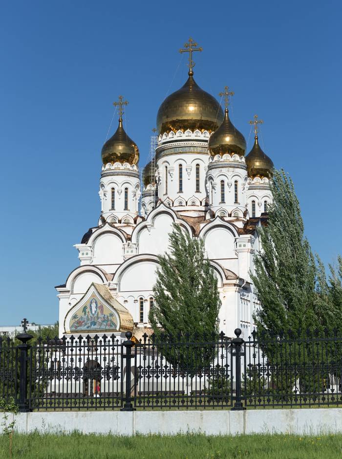
Photo
Where is located Spaso-Preobrazhenskiy Sobor
Spaso-Preobrazhenskiy Sobor — local attraction, which is located at Revolyutsionnaya Ulitsa, 19, Tolyatti, Samara Oblast, 445037 and belongs to the category — cathedral. Average visitor rating for this place — 4.8 (according to 380 ratings, information from open sources and relevant for 2022).
Exact location — Spaso-Preobrazhenskiy Sobor, marked on the map with a red marker.
You can get directions to Spaso-Preobrazhenskiy Sobor on the map from your location.
What else is interesting in Tolyatti? You can see all the sights if you go to the city page.
Coordinates
Spaso-Preobrazhenskiy Sobor, Russian Federation coordinates in decimal format: latitude — 53.5213003761912, longitude — 49.278206598370026. When converted to degrees, minutes, seconds Spaso-Preobrazhenskiy Sobor has the following coordinates: 53°31′16.68 north latitude and 49°16′41.54 east longitude.
Nearby cities
The largest cities that are located nearby:
- Novokuybyshevsk — 57 km
- Samara — 59 km
- Syzran — 74 km
- Dimitrovgrad — 80 km
- Ulyanovsk — 112 km
- Balakovo — 197 km
- Almetyevsk — 240 km
- Kazan — 253 km
- Zelenodolsk — 265 km
- Nizhnekamsk — 279 km
- Saransk — 284 km
- Penza — 294 km
- Novocheboksarsk — 310 km
- Engels — 318 km
- Saratov — 320 km
- Cheboksary — 322 km
- Yoshkar-Ola — 358 km
- Arzamas — 409 km
- Neftekamsk — 415 km
Distance to the capital
Distance to the capital (Moscow) is about — 790 km.