
 Kalinka
Popovka
Poluyanova
Podol
Tayga
Borodino
Dvoynoy
Sevastopol
Kalinka
Popovka
Poluyanova
Podol
Tayga
Borodino
Dvoynoy
Sevastopol  Sorokino
Gornozavodsk
Kizel
Barda
Purpe
Putilkovo
Voznesenskiy
Yaransk
Omutninsk
Slobodskoy
Kotelnich
Sorokino
Gornozavodsk
Kizel
Barda
Purpe
Putilkovo
Voznesenskiy
Yaransk
Omutninsk
Slobodskoy
Kotelnich
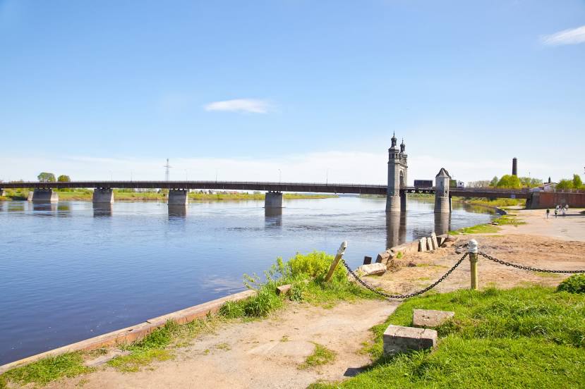
Sovetsk on the map, Russian Federation
Where is located Sovetsk
Exact location — Sovetsk, gorod Sovetsk, Kaliningrad Oblast, Russia, marked on the map with a red marker.
Coordinates
Sovetsk, Russian Federation coordinates in decimal format: latitude — 55.083333, longitude — 21.883333. When converted to degrees, minutes, seconds Sovetsk has the following coordinates: 55°4′60 north latitude and 21°52′60 east longitude.
Population
Sovetsk, gorod Sovetsk, Kaliningrad Oblast, Russia, according to our data the population is — 43,310 residents, which is about 0% of the total population of the country (Russian Federation).
Comparison of the population on the graph:
Exact time
Time zone for this location Sovetsk — UTC +2 Europe/Kaliningrad. Exact time — monday, 7 july 2024 year, 04 h. 24 minutes.
Sunrise and sunset
Sovetsk, sunrise and sunset data for a date — monday 8.07.2024.
| Sunrise | Sunset | Day (duration) |
|---|---|---|
| 04:10 +1 minute | 21:04 -1 minute | 16 h. 54 minutes. -2 minutes |
You can control the scale of the map using the auxiliary tools to find out exactly where it is located Sovetsk. When you change the scale of the map, the width of the ruler also changes (in kilometers and miles).
Nearby cities
The largest cities that are located nearby:
- Klaipėda
 (Lithuania) — 83 km
 - Kaliningrad — 96 km
- Šiauliai (Lithuania) — 129 km
- Kaunas (Lithuania) — 130 km
- Panevėžys (Lithuania) — 170 km
- Olsztyn
 (Poland) — 171 km
 - Elblag (Poland) — 190 km
- Vilnius (Lithuania) — 221 km
- Gdańsk (Poland) — 224 km
- Gdynia (Poland) — 224 km
- Bialystok (Poland) — 232 km
- Rīga
 (Latvia) — 246 km
 - Daugavpils (Latvia) — 302 km
- Plock (Poland) — 316 km
- Torun (Poland) — 316 km
- Warsaw (Poland) — 321 km
- Wloclawek (Poland) — 329 km
- Maladzyechna
 (Belarus) — 332 km
 - Bydgoszcz (Poland) — 336 km
Distance to neighboring capitals:
- Vilnius (Lithuania) — 222 km
- Rīga (Latvia) — 249 km
- Warsaw (Poland) — 323 km
- Minsk (Belarus) — 389 km
- Tallinn
 (Estonia) — 514 km
 - Stockholm
 (Sweden) — 525 km
 - Mariehamn
 (Åland Islands) — 570 km
 - Helsinki (Finland) — 595 km
- Prague
 (Czech Republic) — 750 km
 - Kyiv
 (Ukraine) — 776 km
 - Oslo
 (Norway) — 853 km
 - Bucharest
 (Romania) — 1223 km
 - Tbilisi
 (Georgia) — 2233 km
 - Yerevan
 (Armenia) — 2351 km
 - Tehran
 (Iran) — 3115 km
 - Astana
 (Kazakhstan) — 3268 km
 - Khan-Uul
 (Mongolian) — 5568 km
 - Kathmandu
 (Nepal) — 5848 km
 - Beijing
 (China) — 6737 km
 - Pyongyang
 (North Korea) — 7319 km
 - Seoul
 (South Korea) — 7514 km
 - Hanoi
 (Vietnam) — 7728 km
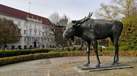
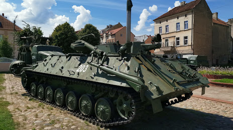
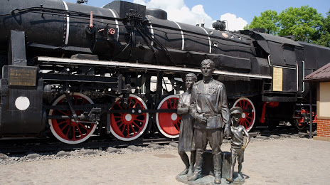
Attractions


Distance to the capital
Distance to the capital (Moscow) is about — 994 km.